Here we see a survey done of lot one in block 3 in Ashland addition to Chicago, being a re subdivision of the overall Chicago subdivision. This survey seems to also require a vertical component in the Chicago City Vertical Datum system. I am sure I will cover more on CCD, or Chicago City Datum, in later posts as they arise.
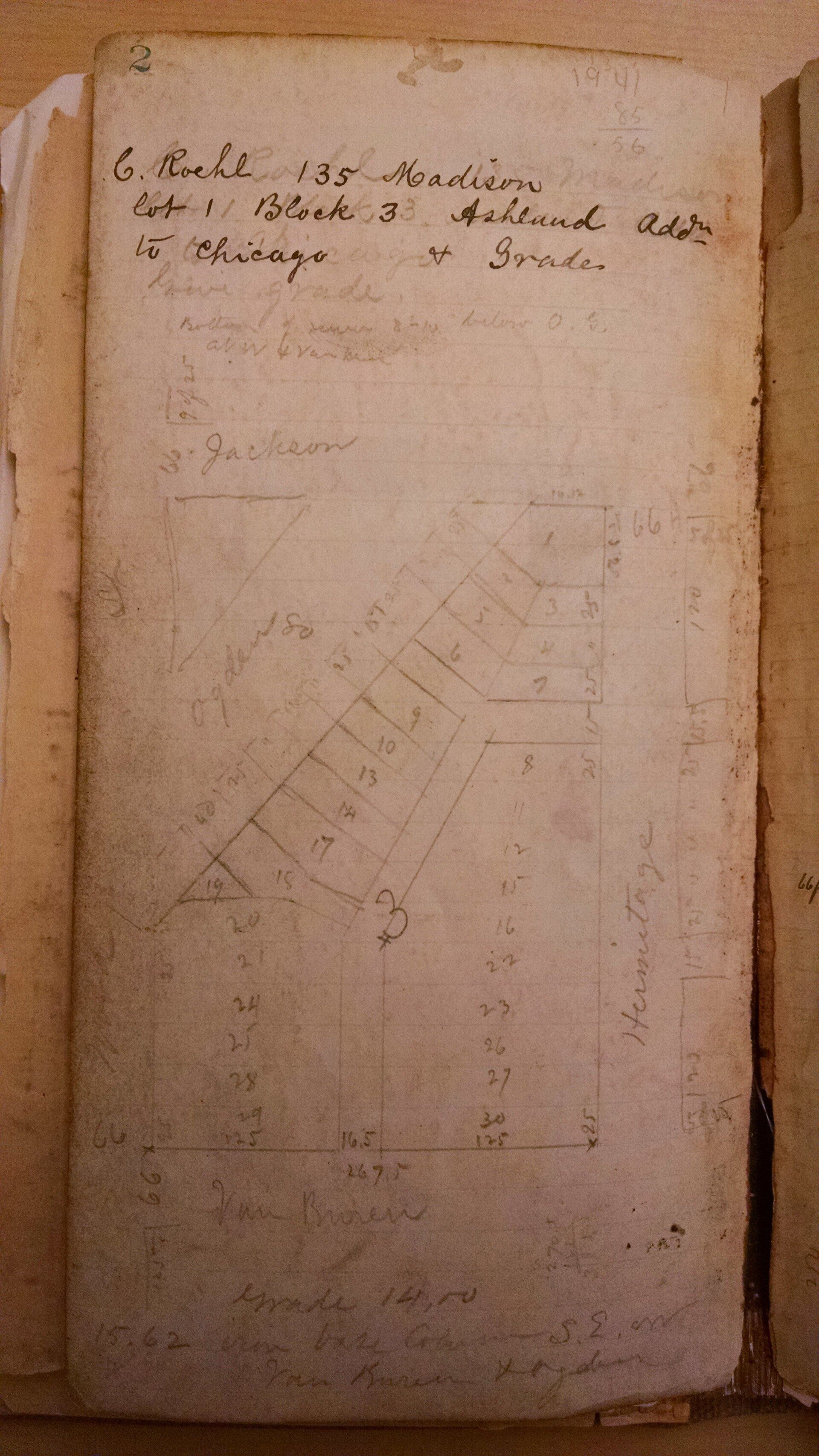
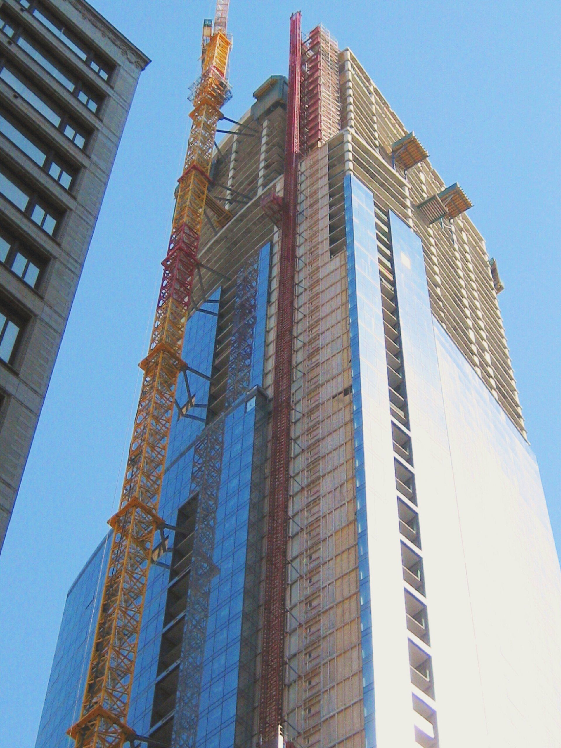
Owner of the property seems to be C. Roehl with the owners address being at 135 Madison. The property we are surveying is at the intersection of Hermitage and Jackson. Lets see what is there now:
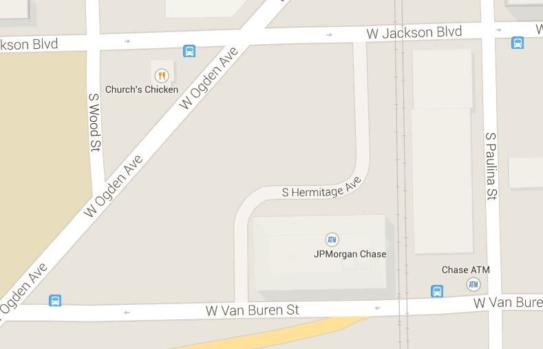
So it seems to be a lot different. Probably a vacation of Hermitage and re dedication further to the east. Ogden looks to be in the same place. At the bottom of the notes it looks like it says grade 14.00 and a benchmark that was noted at 15.62 on some sort of building base at Van Buren. Which makes sense since building bases are about a foot or so above the walk and 14.00 seems about right for grade CCD in this area. Actually 14.00 seems just about right for most of downtown and surrounding properties being that this area is pretty much flat. On to the next page.
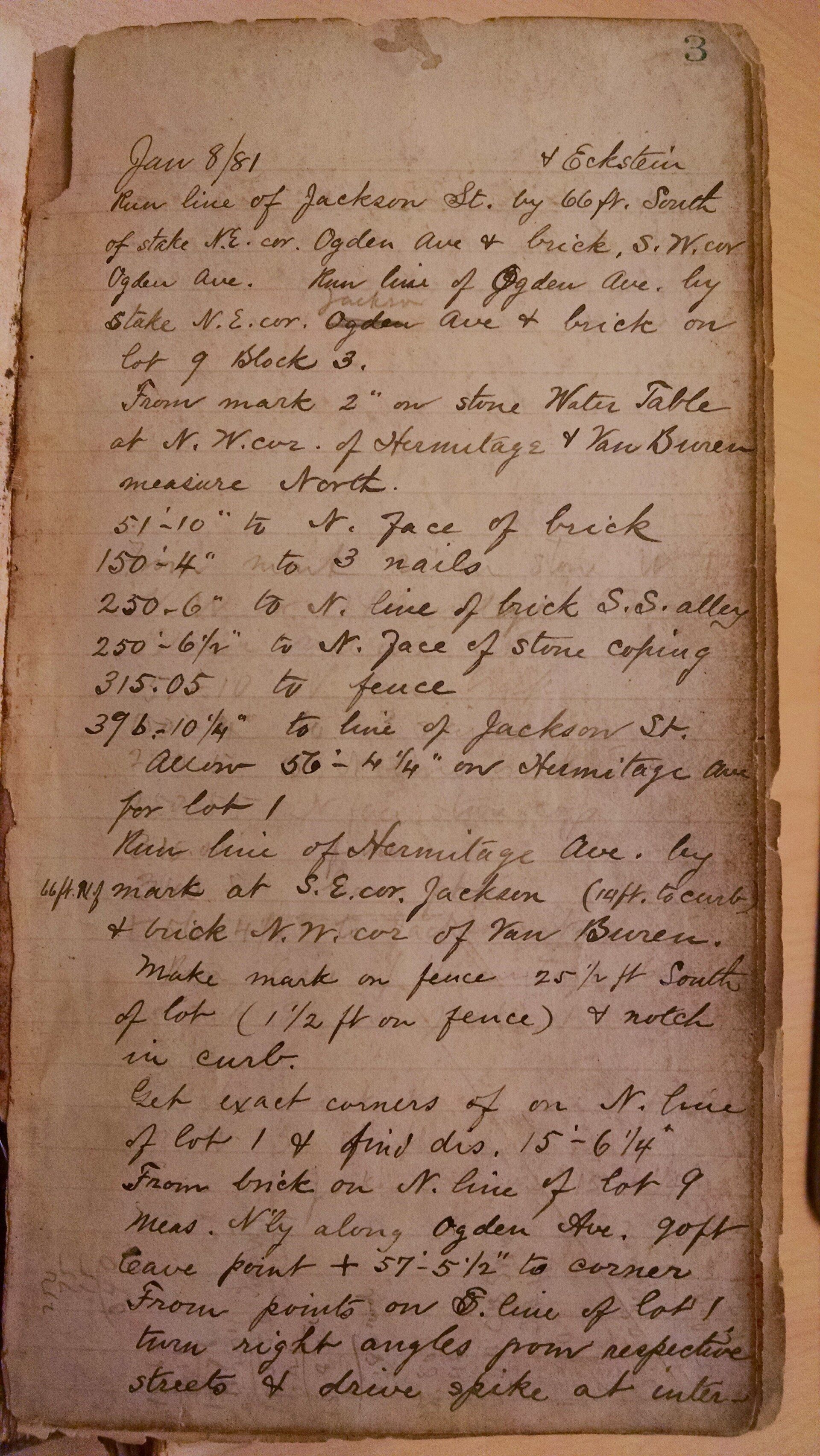
These are the running notes for the line of Jackson, everything is in reference to the line and is notated as such. So it seems like the surveyor found a monument at the North East corner of Ogden and then pulled 66.00′ south of it, which is a record distance, and also by a brick building at the South West corner of Ogden. In the city builders typically make use of the entire lot and build to a zero lot line which means that the buildings become monuments unto themselves.
The surveyor then ran the line of Ogden by the same stake found prior, but this time calls it out as being the NE corner of Jackson for they are running the line of Ogden and there is no need to reference Jackson again. For this line they are also using a brick building found on lot 9 in block 3: refer to the sketch.
Next the surveyor measured North along the west walk of Hermitage starting at 2″ north of a water table at the NW corner of Hermitage because, I am guessing, that they found the water table to be 2″ over the property line.
So North along Hermitage from the North line of Van Buren, as run:
Measure=
51’10” to north face of Brick,
150’4″ to 3 found nails,
250’6″ to N line of a brick,
250’6 half” to N face of stone coping,
315.05′ to a fence, Occupation
396′ 10 and a quarter” to the south line of Jackson as run previously
So, for line run to line run= 396.85′
They then tell us that the prorated lot line would then= 56.35′
You can see some of the record dimensions in the first sketch, but cannot make out the last number so, I would then need to dig further and consult the original subdivision numbers. I do not have these on hand so I cannot verify the proper pro ration. Lets assume they are correct.
They then run the line of Hermitage by 66.00′ N of a mark at the SE corner of Jackson, puts a tie of 14.00 to the curb, and by a brick at the NW corner of Van Buren. They make a mark on a fence that is 25 1/2′ South of the South line and 1 1/2′ West of the end of the fence. This makes the fence 1 1/2′ into the street. 18″ as you can see on the final sketch.
After this the surveyor places the South line of the lot by pulling a distance of 15.52′ Northerly along Ogden from a brick building at the N line of lot 9 and from there pulling another distance of 57.46′ to get to the NW corner of Lot 1. Then setting up on the Southerly line of said Lot and turning a right angle to place a monument at the intersection of the 2 South lines.
Here are the surveyors final dimensions:
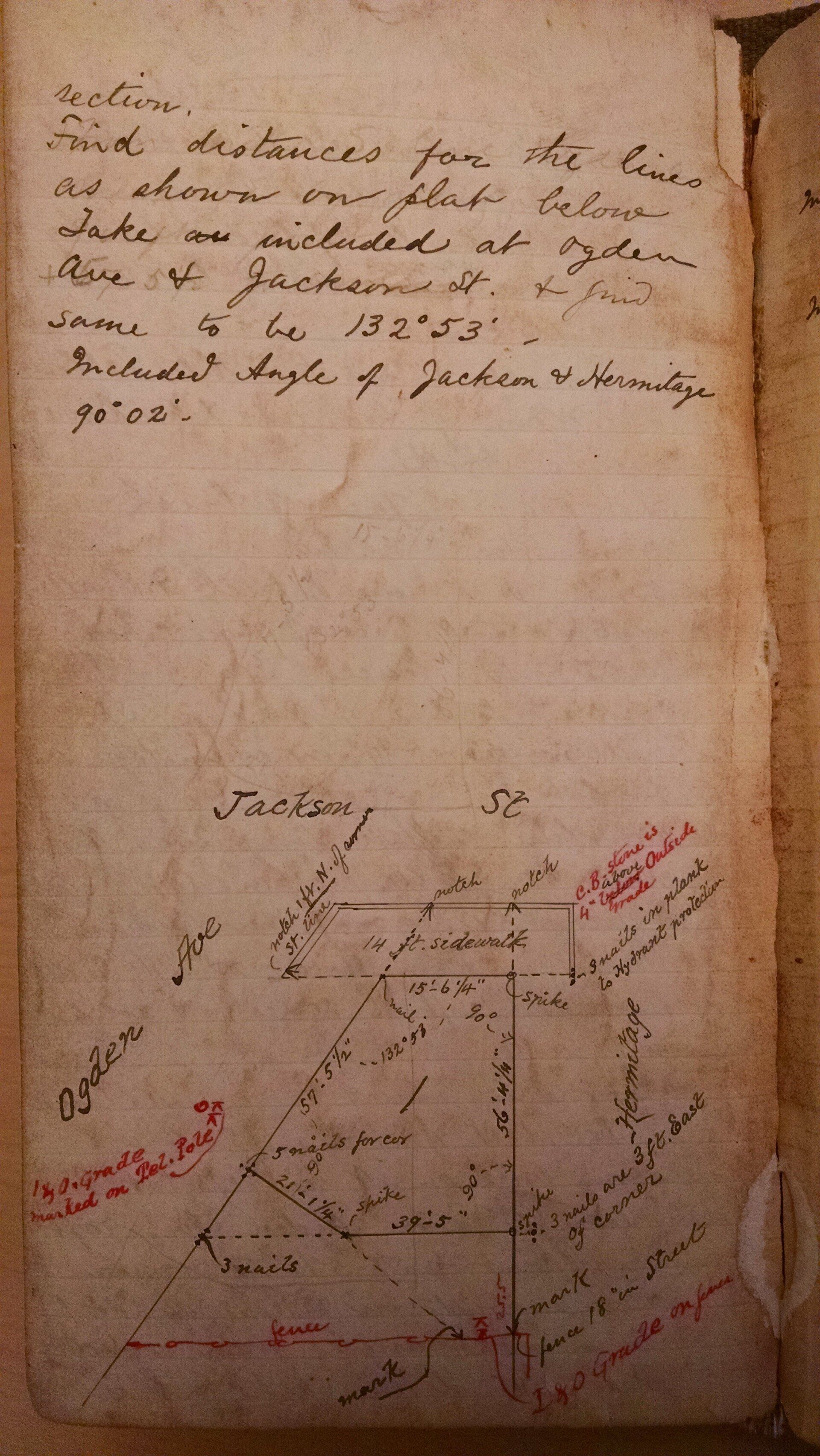
You can see at the South West corner of the sketch that they have an elevation called out. I believe this to be a mark in a telephone pole which is 1′ above grade. Grade assumed to be +14.00 CCD.